Shadbolt Boulevard in Woolston – Formerly Staunton Street. Named after Cora Bessie Staunton (1902-1948). Re-named Shadbolt Boulevard. Named after Howard Leslie Shadbolt (d. 1999). Cora Staunton was the matron of the North Canterbury Hospital Board’s Jubilee Home 1938- 1948. At the time there was an entrance to the Home from the street. Named in 1958. Staunton Street was legally stopped as a road in 1998 when it became part of the Independent Fisheries’ landholding and was used only for access within the property. Independent Fisheries also purchased the former Jubilee Hospital site. Re-named in 2007 to honour Shadbolt who managed Independent Fisheries 1959- 1999.
A reasonable amount of information from the library website and I was surprised that it had information about the street. A few entries on Papers Past and the earliest entry in 1958 is difficult to read and the only part that I could read said that the street ran parallel to Bamford Street. Sewage was mentioned in 1965 and from 1966 onwards it was mostly ads and the land was described as heavy industrial. Independent Fisheries is mentioned a lot and they are still on this street. A nearby company was refused the right to take water from the river. A body was recovered from the river near here in the early 1970s and there were a few burglaries. In 1979 a car testing station for warrants and certificate of fitness was opened. The 1980s saw nearby residents complaining about the smell from the fish meal plant in the street. My sister-in-law has a geocache nearby on a walkway behind the factory called Stinky Corner. In 1948 a memorial to Cora Staunton was unveiled at the Jubilee Home.
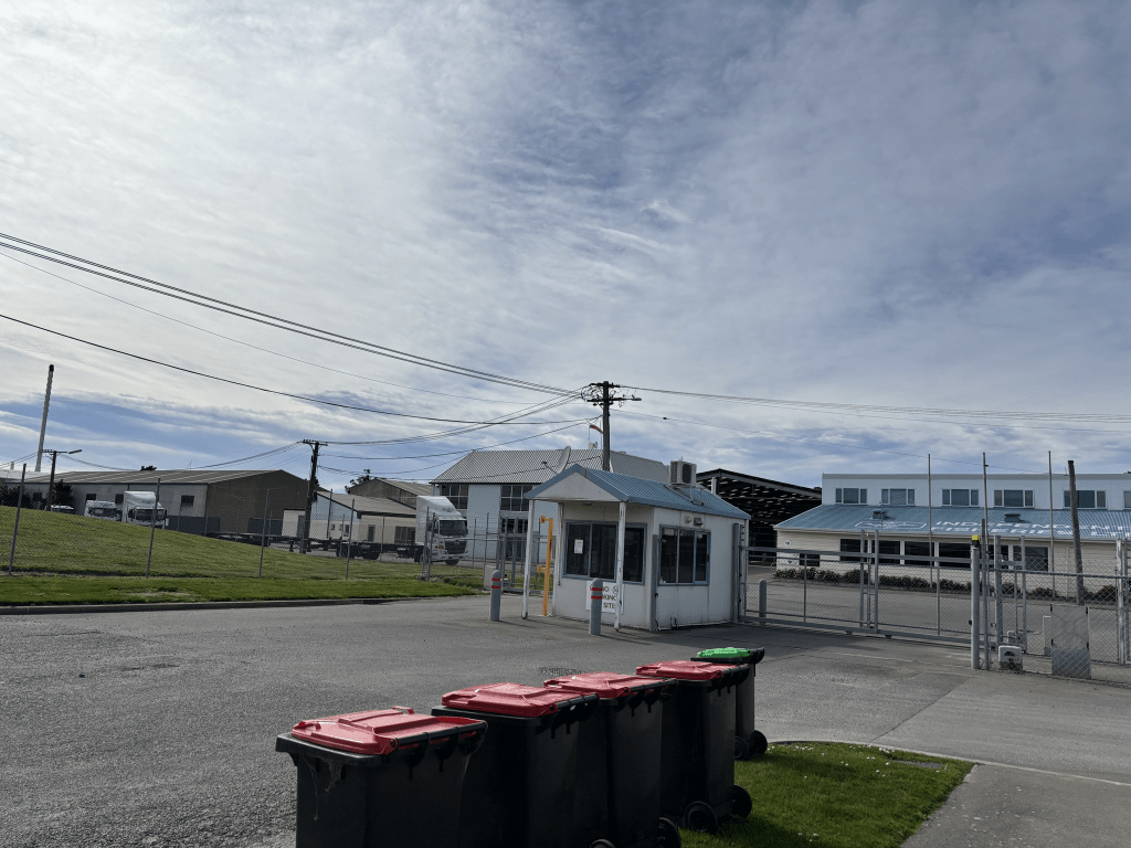
I obviously didn’t walk this street as it is fenced off and it wasn’t until I was researching Jubilee Street that I realised it had been a street. For some reason both google maps and Apple maps show it as a street. Apple maps doesn’t show it as a closed street but why I am I not surprised. Reminds me that I must check Apple maps to see if it still shows the Burnham Golf Course as being in Central Christchurch. Yes I get a lot of amusement from Apple maps. I went checking old maps and it isn’t on the map from 1930 but it does show up on maps for 1941, 1950 and 1958 but with no name. I don’t know how old the paper map for Christchurch that I own is but it doesn’t show this street as being a street. I have worked out that my paper map must be older than 2007 as it still shows NZ Post as being on Hereford Street in the building which is now the Council Buildings.