Bamford Street in Woolston – formerly Bamford’s Road. Named after Henry Augustus Bamford (1842?-1941). Henry Bamford, a lawyer and second president of the Woolston Public Library, was a resident of the street in 1887, the year it first appears in street directories. Bamford’s Road is first mentioned in The Press in 1872 in a report of a meeting of the Heathcote Road Board. Bamford Street is first mentioned in The Press in 1881.
A small amount of information from the library website and the street was probably actually named after Henry Bamford’s father as the land belonged to his father John Dean Bamford. John Dean Bamford is credited with being one of the first solicitors in Christchurch and he specialised in conveyancing and mortgages. He died in 1874 aged 57 and he possibly went bankrupt in 1870. His land was on Ferry Rd and this street was formed through the property. John Dean Bamford came to New Zealand in 1851 with three sons. He had fairly recently become a widower. Henry Bamford was a solicitor in Christchurch for a while but left in about 1885 or 1886 to go to the North Island. He went bankrupt in 1885. In 1905 he was charged with failing to apply money of clients for specific purposes and was no longer able to work as a solicitor. In other words he embezzled money from his clients. His obituary doesn’t mention this. He died in Nelson in 1941 aged 99 years and 8 months. There was a drunkard in Christchurch named Henry Bamford who was always in the court news but don’t know if he was related.
The earliest entry on Papers Past for this street as Bamford’s Rd was in 1872 when Rainey and Pepprell asked for the road to be formed. A few entries in the 1870s about the forming of the road and for some reason Mr Rainey was blocking the street with a fence. In 1885 a large section of land was for sale at the Ferry Rd end of the road. This sale of land probably relates to Henry Bamford’s bankruptcy. From 1900 onwards mostly death notices and ads and the last entry as Bamford Rd was in 1919.
Under the name Bamford Street there was an entry in 1881 for the building of a house on the street. In 1884 concrete channels were mentioned and the road was metalled in 1888. This didn’t stop the complaints about the state of the street. In 1903 footpaths were to be formed and for reason in 1906 the street was to be lowered at the river end of the street. The bridge on the street gets mentioned. From 1915 onwards the tram is frequently mentioned and usually it was complaints about it. There were complaints in 1920 about night soil being dumped in the paddock on the corner of Bamford Street and King Edward Terrace. This paddock was already being used for the waste from the Tannery. This paddock was apparently not far from the Jubilee Home. In 1925 polio is mentioned. In 1926 a boiling down works is to be built for the Canterbury Soap and Glycerine Company. In the 1930s the street finally get a tram shelter plus they get a telephone box. A pumping station is to be installed. The Bamford School is mentioned for the first time in 1950 and it opened 1952. This school was built on the land where the Bamford family had lived.
From the 1950s onwards more and more businesses were on the street and these businesses were mostly at the King Edward Terrace end of the street.
In 1973 it was proposed that Bamford Street become a cul de sac and a foot bridge to be built across the river. This was because of something called the Woolston Cut and this is where they altered the flow of the Heathcote River. Bamford Street on the Ferry Road side of the river became Gould Crescent and Bamford School is now on Gould Crescent.
The residents of this street were an accident prone lot plus there were several accidents on the street especially when it went from Ferry Rd to King Edward Terrace. The residents had car accidents, motorbike accidents, cycling accidents or fell off the tram or tripped over tram lines. One young boy had to be rescued from a disused quarry. Sadly drowning accidents happened with the street being so close to the river.
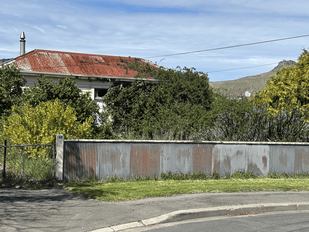
The houses here date from 1880 to 2025 with a big block of them being built in the 1960s and 1970s. The houses range from being well kept to falling down. The houses are at the footbridge end of the street and it then becomes mostly industry.
I started my walk at the footbridge end where most of the older houses are. One house is in a very rundown state yet looking at street view just a few years ago it looked OK. At Barton Street intersection the road is narrowed and you can’t drive through this narrow part and the street is divided here. It starts getting more industry and less houses at this stage. I wouldn’t like to live here and I didn’t feel that comfortable walking in this area yet some of the houses looked really nice. Some of the business premises looked a bit rundown and others looked brand new.

Well, this street has character … ripe for gentrification 🧐
On Sat, 27 Sep 2025 at 19:52, Lytteltonwitch’s Walking the streets of
LikeLike