Wyndham Street in Papanui – formerly James Street and William Street. Named after James William Horner (1855-1913). Re-named Wyndham Street. James’ father William Horner (1833-1905) was the first blacksmith in Papanui. James was also a blacksmith. James Street first appears in street directories in 1887. Re-named William Street in 1914. Re-named Wyndham Street on 24 May 1926 when 21 streets were renamed.
A small amount of information from the library website. Under James Street on Papers Past there were a huge number of entries as there were several streets with the same name including one in Linwood. There were several entries in 1885 about reforming and metalling the street. The footpath was also mentioned. In 1886 the residents requested that the Road Board take over the street. A few death notices for the street.
Under William Street there were birth and death notices plus ads. A few call to service and recruitment notices.
As Wyndham Street there were many death notices plus a few birth notices. Lots of ads and going by the ads there was a dairy farm and a dog breeder on the street. A few garden competition mentions. In 1941 the road was tar sealed. In 1955 there were tenders called for building a substation on the street. Also in 1955 there were tenders called for the demolition of old buildings on the corner of Papanui Rd and Wyndham St. These buildings must have been demolished as Papanui Holdings Ltd who owned vacant land here objected to it being zoned residential and were requesting that it be rezoned commercial. After 1960s most entries were ads for shops on this corner with mention of car parking available in the car park behind the shops with the entrance off Wyndham Street. In 1973 a shop called Haralds was mentioned and I think that they also had branches in the city and Sydenham. I frequently purchased fabric at Haralds.
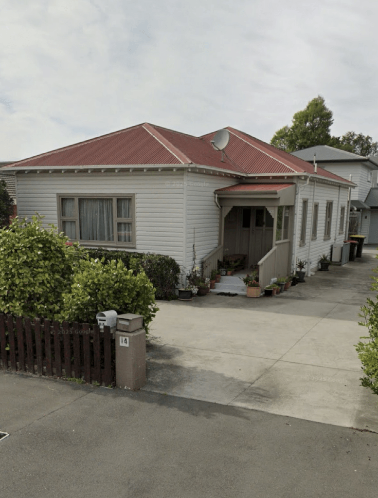
I walked this street a couple of weeks ago and there are still shops at the Papanui Rd end of the street with a car park behind the shops. The MED substation is next to the car park. For some reason I didn’t take any photos when I walked this street so I took a screenshot from google maps of a house that dates from 1910. The houses here date from 1910 to 2018 with a huge number built in 1970s and 1980s. No I didn’t like the modern houses. This is another street that is straight in old maps but has a serious kink in the street by Mary Street intersection. Papers Past in the 1970s talked about the street to be widened and then this was followed up with the council changing it’s mind about this. It is obvious that the street wasn’t widened as it has been narrowed. Lots of plants and grass next to the footpath especially where it kinks by Mary Street.