Quarry Rd in Mt Pleasant – Named after the stone quarry on this site. The St Andrews quarry was owned by Samuel Paul Andrews (1836?-1916), plasterer, politician and businessman. It was on the site of the present-day Mount Pleasant Tennis Courts. Stone was broken with hammers and carted in drays to a chute which led to the stone-crusher on the flat land below. Road metal was supplied to local authorities. Andrews also owned another quarry at the end of Rossmore Terrace. First appears in street directories in 1941.
A reasonable of information from the library website. The quarry was actually called Andrew’s Quarry and not St Andrew’s Quarry.
The earliest entry that I found on Papers Past was in 1944 but I possibly missed a few entries as there were thousands of entries on Papers Past as every town in New Zealand seemed to have a Quarry Rd. A few death notices but most entries involved a court case in 1987. A couple had a house built on the street but had problems with it. It was described as an expensive house and pool complex on a filled hillside side. Soon after it was built the house and pool started cracking and sagging. The architects and engineers had to pay damages of $315,528.00 and the council were criticised as well.
Samuel Paul Andrews was from Isle of Wight and tried several occupations including mining and plastering before becoming a contractor and owning a quarry. He went bankrupt a couple of times which shouldn’t be a surprise as so many streets in Christchurch have been named after businessmen who went bankrupt.
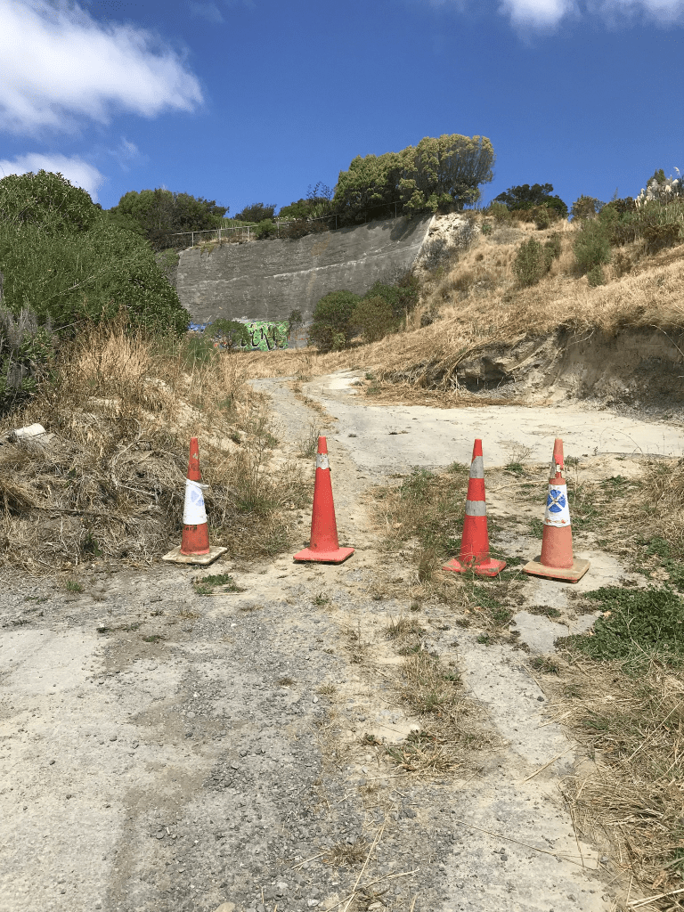
No footpath on this street but there wasn’t any traffic. There is the Mt Pleasant Tennis Club here as well as the King Park and playground. There are only three houses left on this street. They are from 1930, 1950 and 1960. There are at least eight houses that were demolished here including the one that was mentioned in the 1987 court case. Looking at street view from before the earthquakes there were some lovely houses. One looked especially gorgeous and it is sad that it was destroyed in the earthquakes. On one side of the street there is no longer any houses and the land is lower than what is used it be. Two or more of the houses were built on a clay bank and there had been a big retaining wall. Behind the retaining wall was what they called infill and was probably rubble. The bank and retaining wall no longer exist and obviously the houses no longer exist.