Tidal View and there wasn’t anything on the library website for this street. I would have put the street in Ferrymead but some websites have it in Woolston as well. I couldn’t find out when the street was named and formed but it was possibly around about 2008.
Waters Edge Apartments were built in 2008 on the site of the Ferrymead Tavern. The Ferrymead Tavern was originally called the Heathcote Arms and I found entries on Papers Past as early as the 1880s. The Ferrymead Tavern’s address was 1099 Ferry Road. Several articles about the area included bodies being found in the estuary. Obviously leaving a pub drunk and being so close to water wasn’t a good combination. The Waters Edge Apartments were seven stories high and had 34 apartments. The developers had wanted the building to be 14 stories high. The building was badly damaged in the earthquakes and eventually demolished. Many locals were pleased about this as the building was considered to be an eyesore and not suitable for the area. I don’t recall ever having seen these apartments but I did leave New Zealand in 2009 to live in the UK for 5 years. I also can’t visualise the Ferrymead Tavern and I couldn’t find any images online.
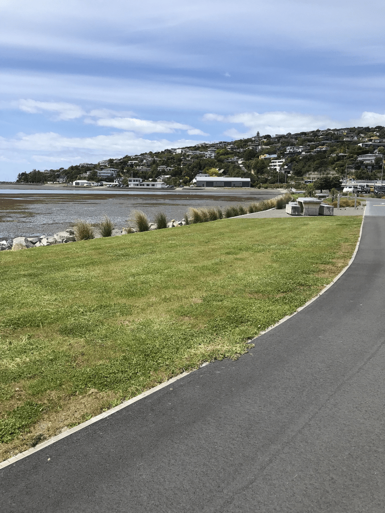
The street has a joint cycleway / walkway and there is a fitness gym and an outdoor shop at one end and a bar / cafe at the other end. In the middle it is a building site and this is a development to replace the Waters Edge Apartments. The new apartments are supposed to be restricted to being only 4 stories high but it wouldn’t surprise me if this is ignored.
The name of the street is obvious as it overlooks the estuary and today it was a short detour for me on my walk from Sumner to Addington.
Edited to say that after looking at old maps that Tidal View was part of Humphreys Drive and Humphreys Drive was altered