Hulverstone Dr in Avondale red zone – Named after Hulverstone on the Isle of Wight. In a subdivision between the Avon River, west of the Bower Bridge and the northern end of the Avondale Golf Course of a 50 acre farm formerly belonging to Stewart Clendinning Hampton (1908-1993). Developed from 1969 by Merrit-Beazley Homes Ltd. All the streets are named after places on the Isle of Wight. Named on 16 June 1975. The legal process for stopping Hulverstone Drive was completed by August 1999. The physical stopping took place in February 2000 in conjunction with the construction of the bridge.
A reasonable amount of information from the library website. Originally the street ran from Avondale Rd to Wainoni Rd without a break but it was then split in half by a bridge. The area surrounding the bridge is called Cedarwood Reserve. When walking it yesterday I didn’t realise that it is a reserve as the entire street is in the red zone. Not many mentions on Papers Past apart from a few ads in 1977 for selling houses. In 1976 there was a Housing Corp subsidy of $59,700 for a rental housing project for the aged.
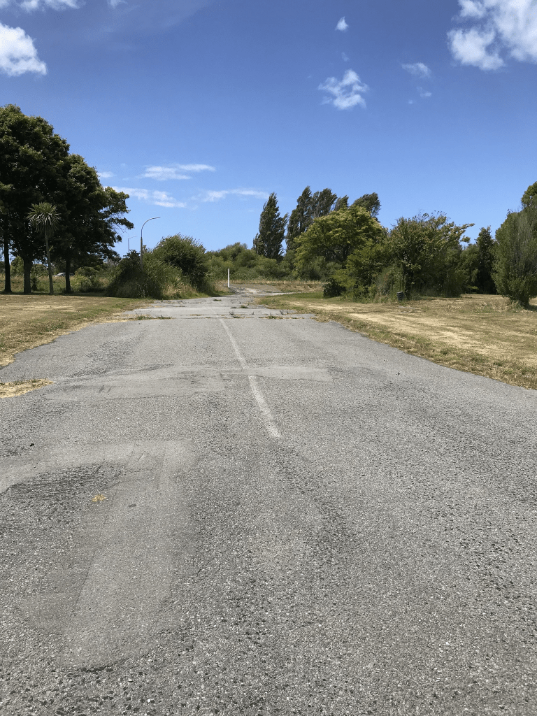
Looking at street view from before the earthquakes it looks like it was a pleasant street with some nice houses. The houses were only on one side of the street as the river was on the other side. There was a walkway that ran beside the river. Street view after the earthquakes and the road was a mess. The bridge still has traffic going over it but walking this street there is a walkway that goes under the bridge. I am sure that the bridge is safe