Culver Place in Avondale red zone – Named after Culver Cliff or Culver Down on the Isle of Wight. In a subdivision between the Avon River, west of the Bower Bridge, and the northern end of the Avondale Golf Course of a 50 acre farm formerly belonging to Stewart Clendinning Hampton (1908- 1993). All the streets are named after places on the Isle of Wight. Developed from 1969 by Merrit-Beazley Homes Ltd. Named on 16 June 1975.
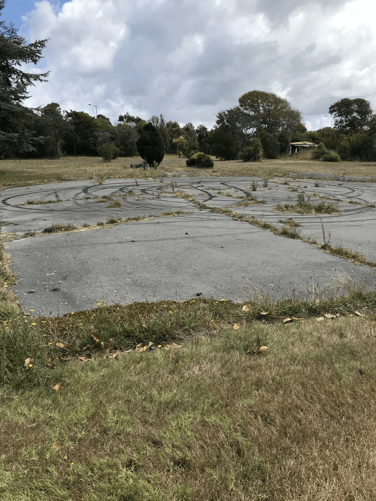
A reasonable amount of information from the library website. Papers Past in 1977 had several ads inviting you to village their Show Village which was a new concept in living. Street view for 2009 shows a typical street of houses for the 1970s. There are no longer any houses here and there is a gate where the entrance to the street would have been but you are able to walk around it. The boy racers obviously can get in as there were recent looking burn out marks.