Calbourne Lane in Avondale Red Zone – Named after Calbourne on the Isle of Wight. In a subdivision between the Avon River, west of the Bower Bridge, and the northern end of the Avondale Golf Course, of a 50 acre farm formerly belonging to Stewart Clendinning Hampton (1908-1993). All the streets are named after places on the Isle of Wight. Developed from 1969 by Merrit-Beazley Homes Ltd. Named on 16 June 1975.
A small amount of information from the library website. Stewart Clendinning Hampton had no connection with Isle of Wight as his ancestors were Irish. Clendinning was his grandmother’s surname. I checked Stewart’s wife and she didn’t have any connection to Isle of Wight either so it must have been a random decision by the developers to name the streets in the area after places in the Isle of Wight. Stewart Clendinning Hampton was a dairy farmer on Wainoni Rd and after he sold his land here he moved out to Fernside to farm.
First mention in Papers Past was an ad in 1970 and the area was being called Cedarwood. Between 1970 and 1979 all the entries on Papers Past were ads for half built houses being sold.
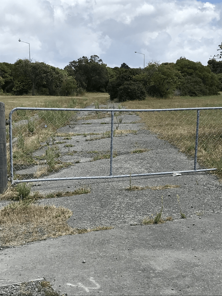
I didn’t actually walk this street as it is blocked off by a fence and locked gate. There are no longer any houses here as it is in the red zone. Street view from 2012 showed houses that were still being lived in and several looked like council housing. Street view from 2009 showed a very ordinary looking street.